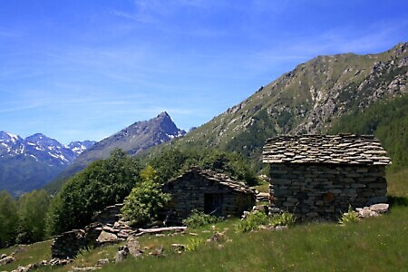
Overview
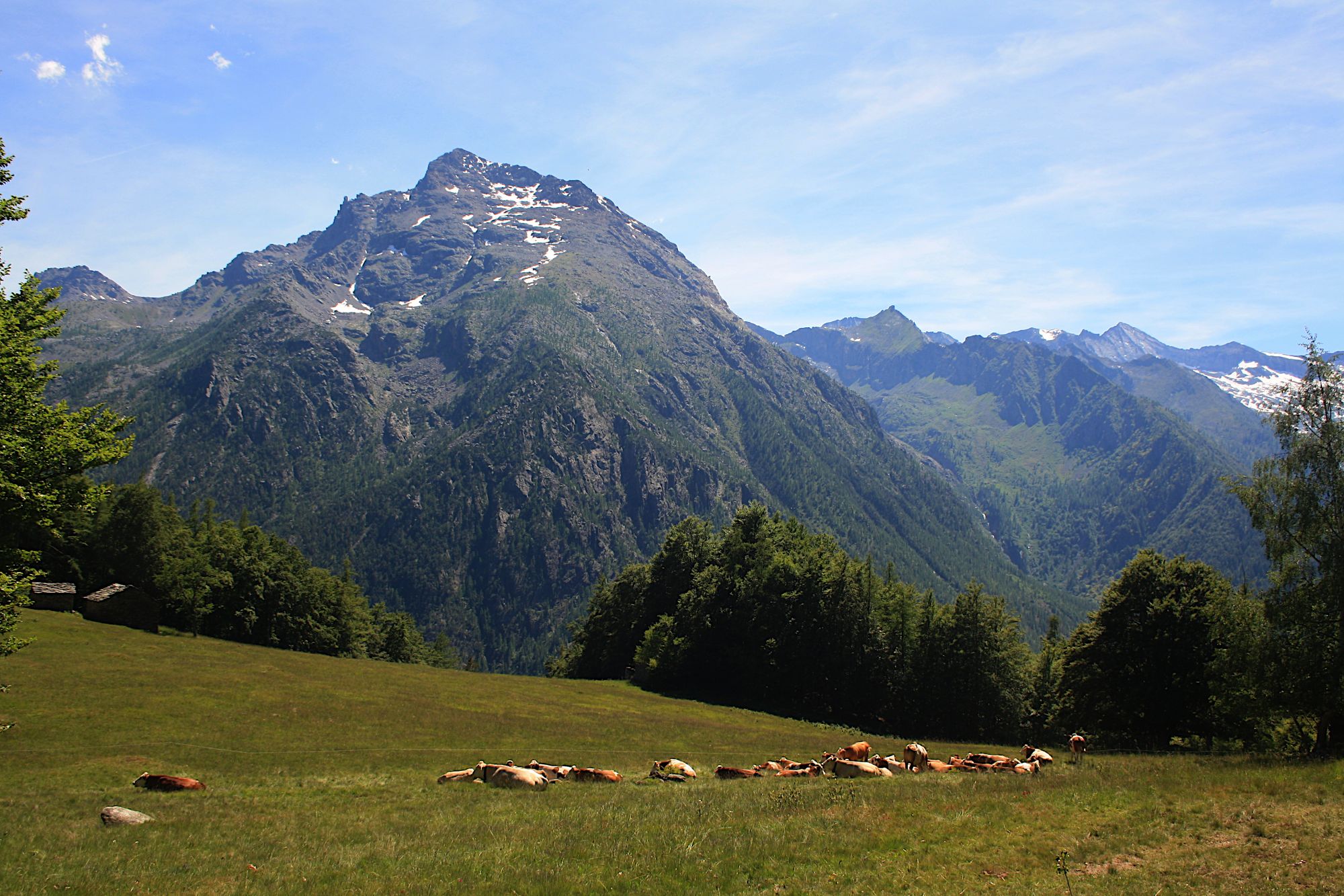
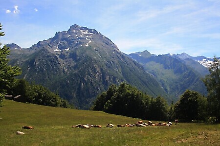
A loop trail that crosses ancient hamlets and then follows a section of the High Balcony Trail of Val d'Ala, offering enchanting views of Monte Rosso and Uja di Mondrone.
Starting point
DirectionsAfter leaving your car in the central square of Ala di Stura or near the Grand Hotel, go up Via Pian del Tetto until you reach a bridge on the left. Cross it and follow the paved road which becomes unpaved after a few hundred meters.
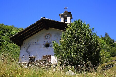
Continue following the road for approximately 30 minutes until you encounter a mule track on the right indicated by signposts. Take the mule track which, entering the woods, leads to Località Ciautè (1,280 m), where there is a small chapel.
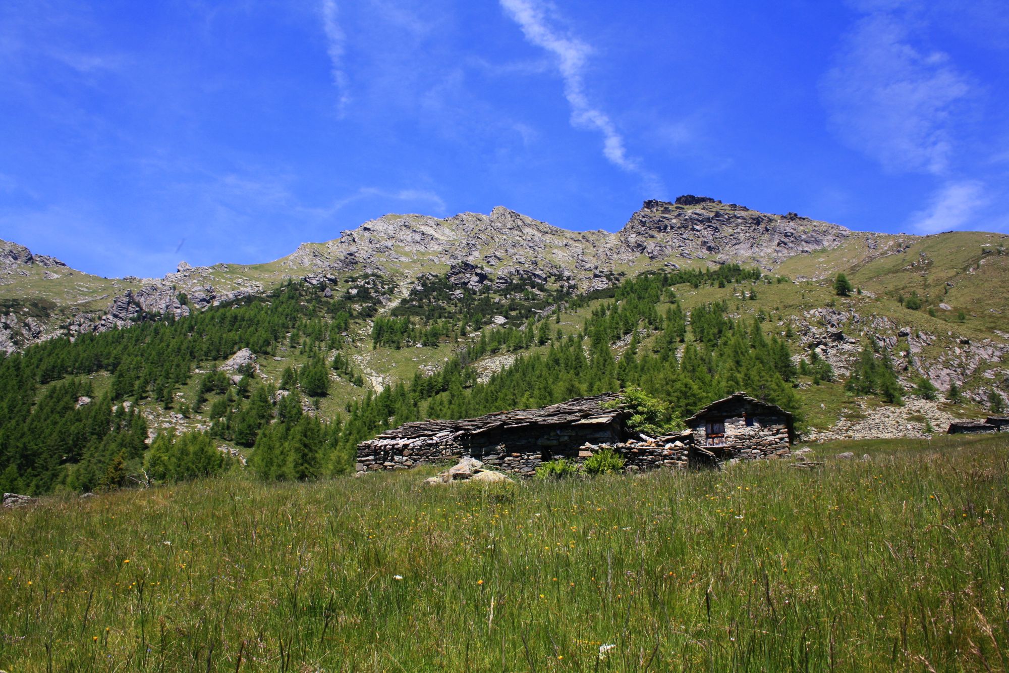
Near the hairpin bend above the group of houses, leave the mule track, which enters the woods again heading northeast, and resume the unpaved road for another short section until you reach a signpost with directional arrows. Take the path to the left of the road leading to Pian Attia (1,393 m).
To reach the hamlet of Pian Attia, follow the lower part of a grassy slope (faint trail) and then curve northeast toward a white pillar. From the pillar, the path enters among the houses.
After crossing the group of houses, you intersect the unpaved road again, which you follow downhill for a few meters until you find the path on the left (note the signposts placed 50 m higher up).
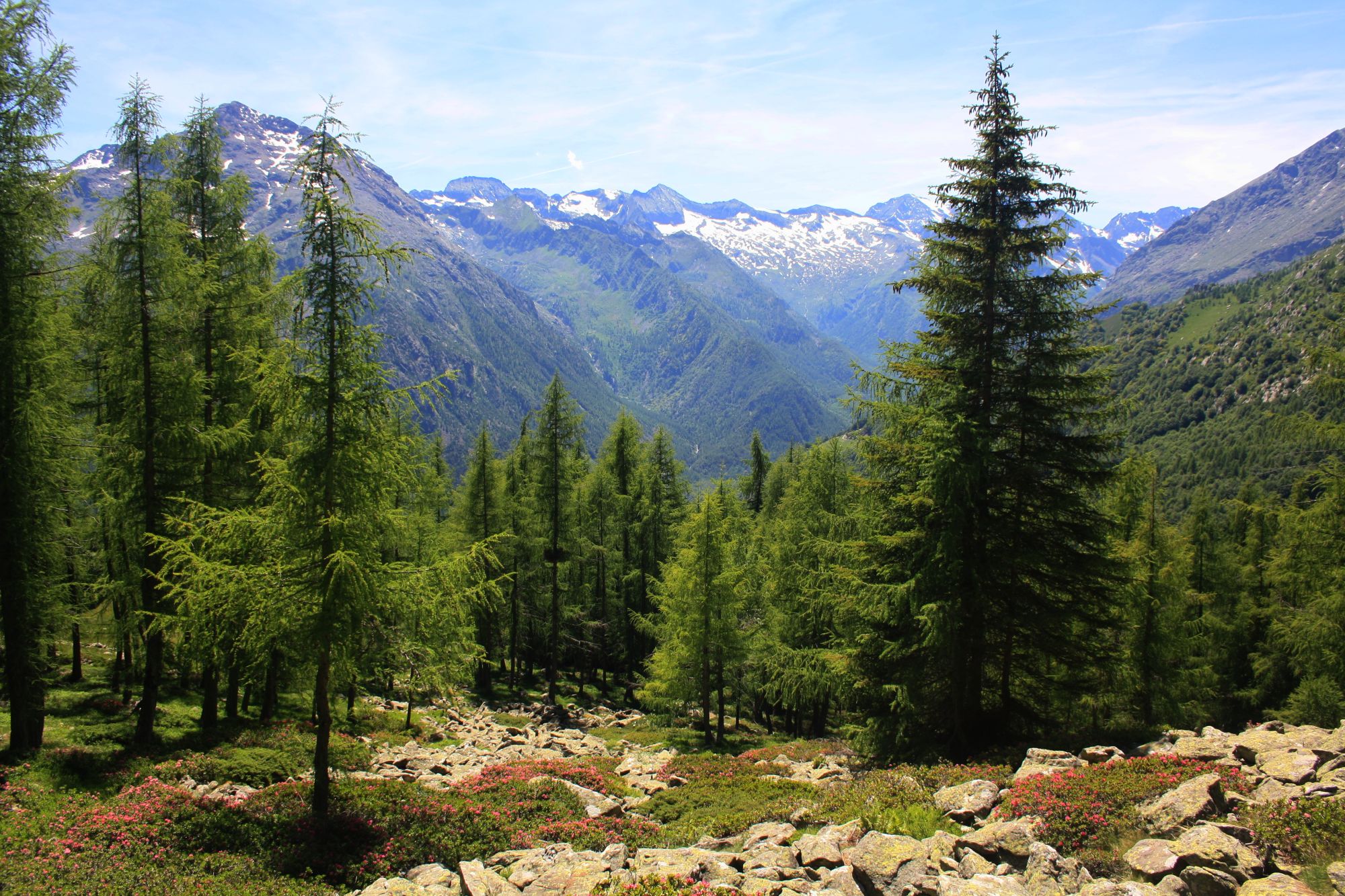
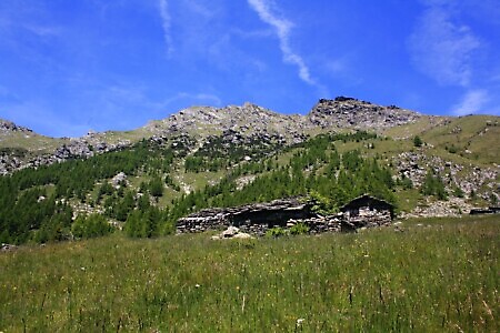
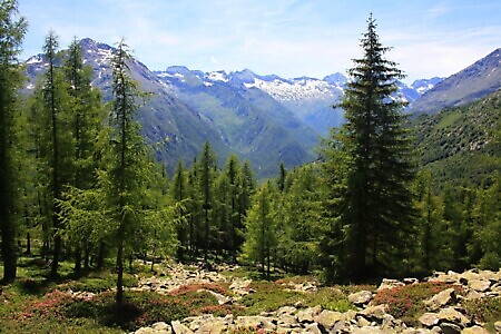
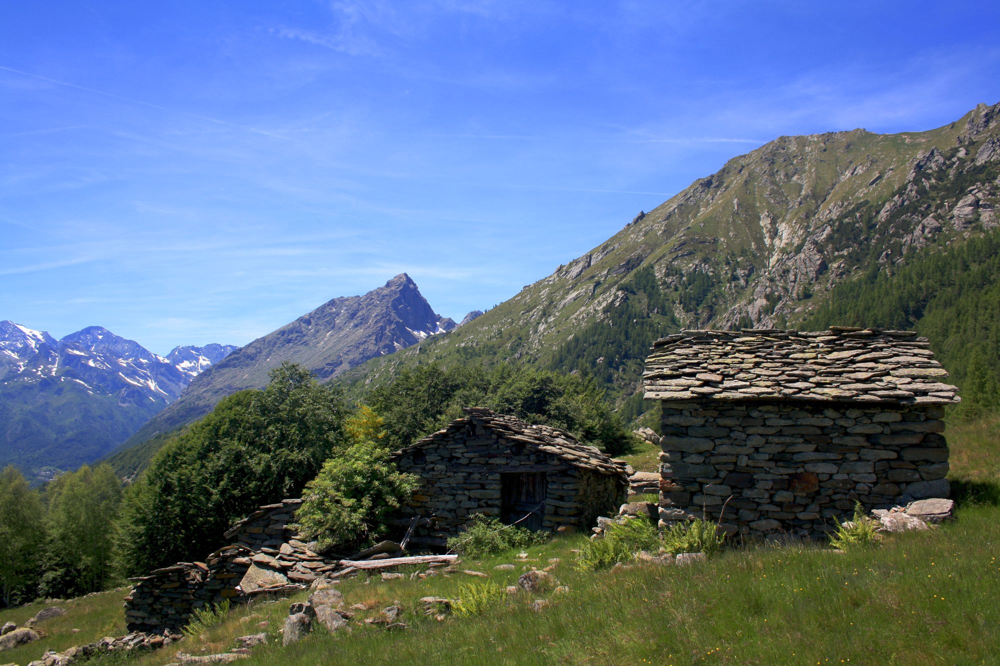
Follow the signs for Colle d’Attia – Monte Doubia: the path continues through the woods with a steep climb for approximately 1 hour. After leaving the woods, you reach a wide grassy slope, which you cross until you reach Alpe d’Attia (1,741 m), a panoramic viewpoint over Testa Paian, Punta Karfen, Monte Rosso, and Uja di Mondrone.
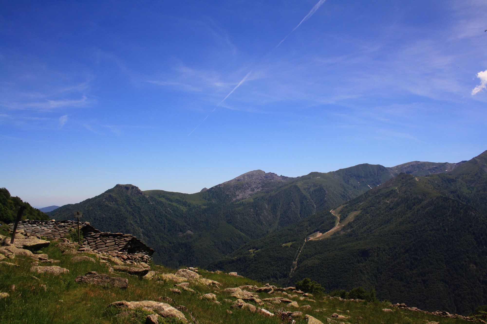
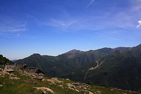
From the alpine pastures, the path continues westward with a long panoramic traverse that crosses numerous gullies before descending to Alpe Sarpeis (1,603 m). From here, follow the unpaved road downhill. Ignore the first turn on the left and continue until you encounter another fork to the right a few meters later. Taking this turn, you reach Pianfé (1,487 m), where the path runs alongside the houses and then curves south into a wide pasture. After crossing the meadow (faint trail), you rejoin the unpaved road, which you follow downhill for approximately 800 m until you encounter some signposts on the left.
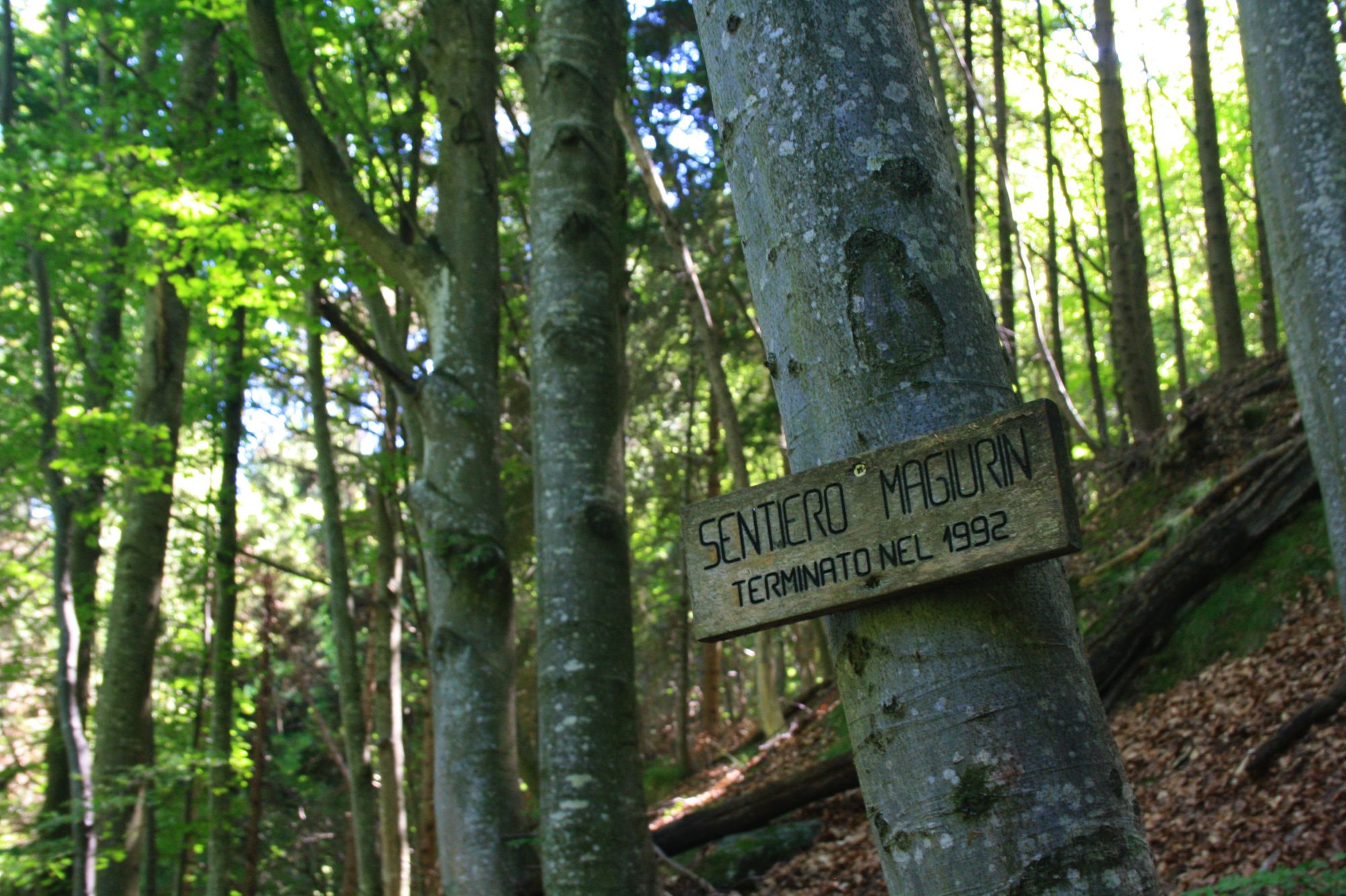
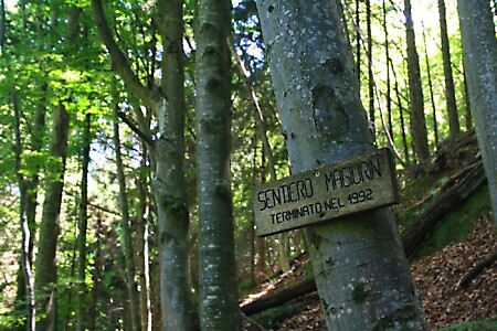
Leaving the road, the path enters a dense beech forest along the Sentiero Magiurin, which with some ups and downs leads back to the Pian Attia road. The return can be made along the unpaved road or via the outward route.