Overview
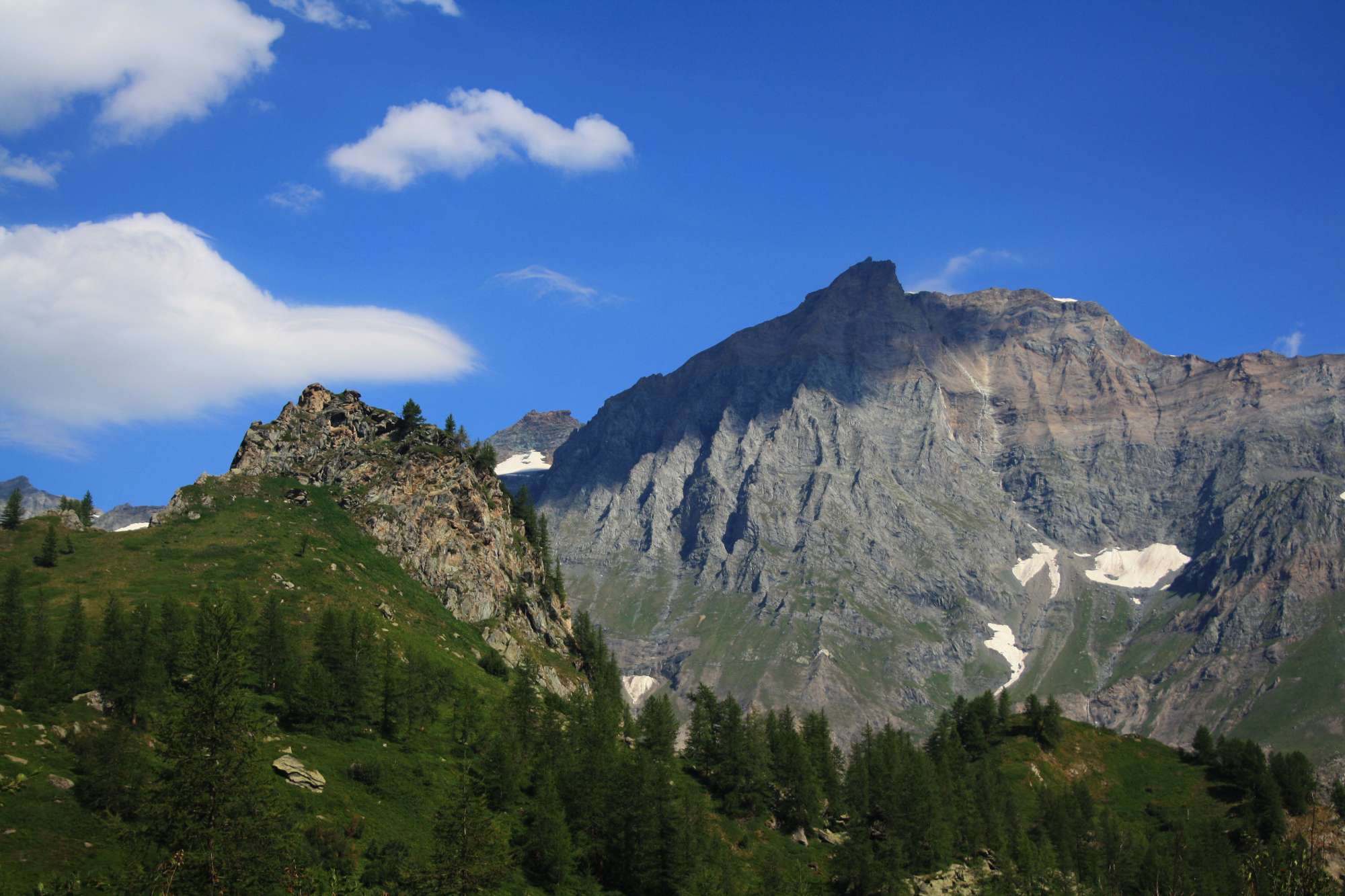
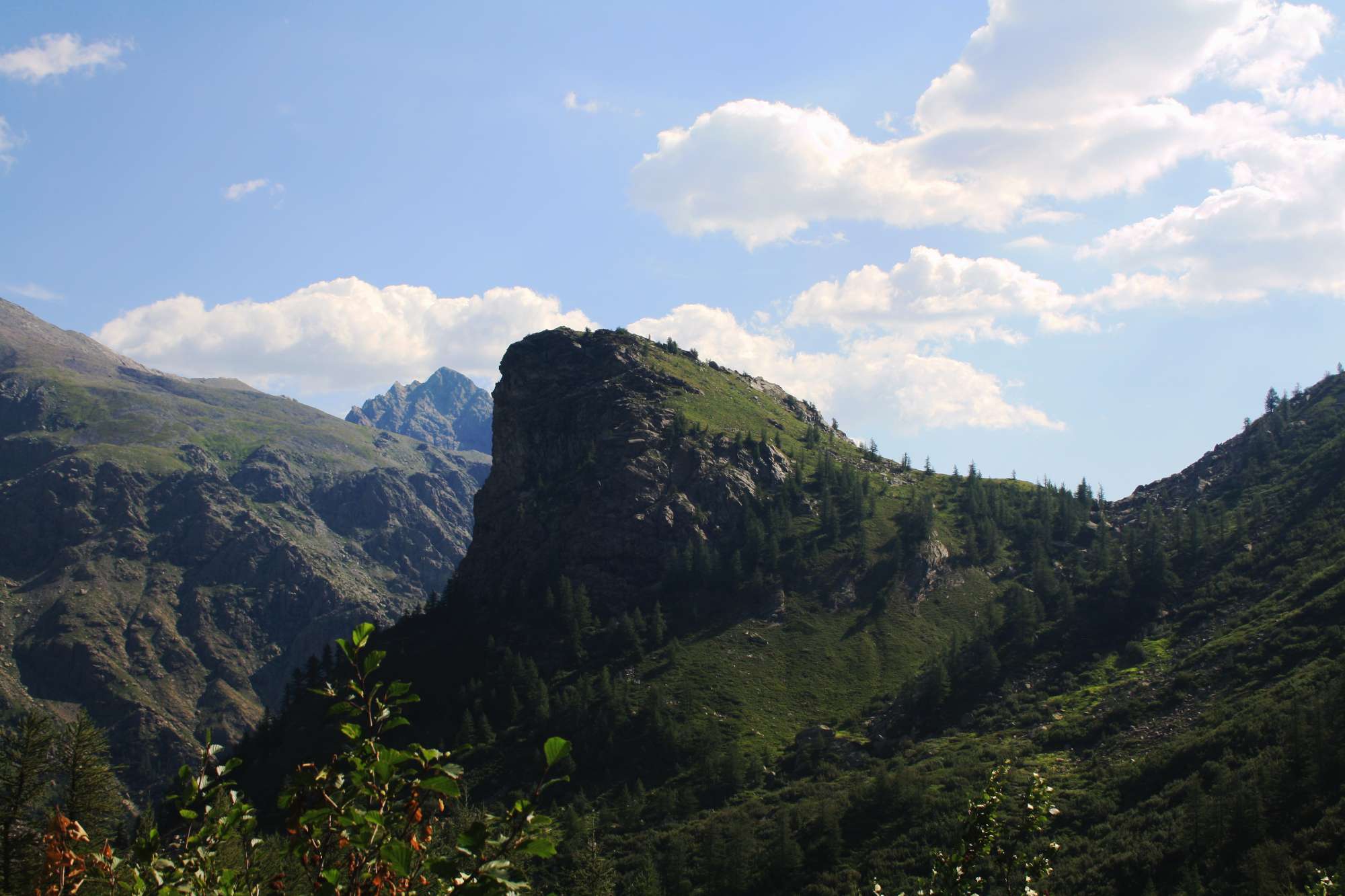
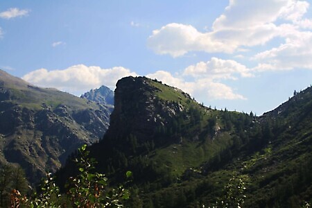
A long loop trail starting from Pian della Mussa that reaches two glacial lakes, Lake Bessanetto and Lake Crotas, passing through the wild Saulera Valley before descending into the Crot del Ciaussiné basin, where the Gastaldi Refuge is located.
Starting point
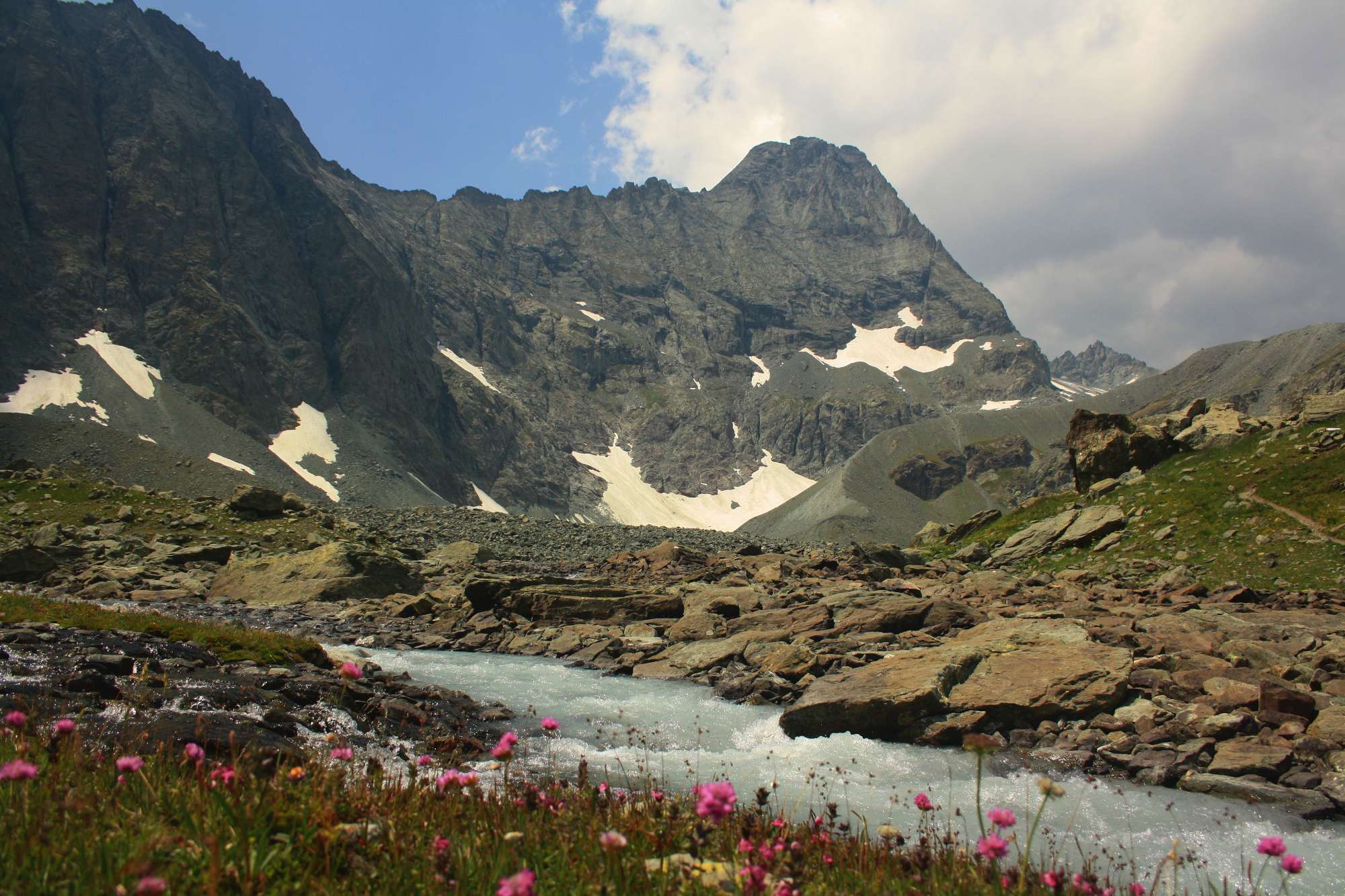
DirectionsFrom the square near the Grange della Mussa, opposite the Bricco Restaurant, cross the bridge over the Stura river and walk alongside a group of white houses (Villa Sigismondi) on the right. The path climbs southwest until it meets a junction marked by signposts. Although the signs point right for the path to Passo delle Mangioire, it is suggested to follow the left track towards Alpe Saulera, the direct access route to Pian Saulera.
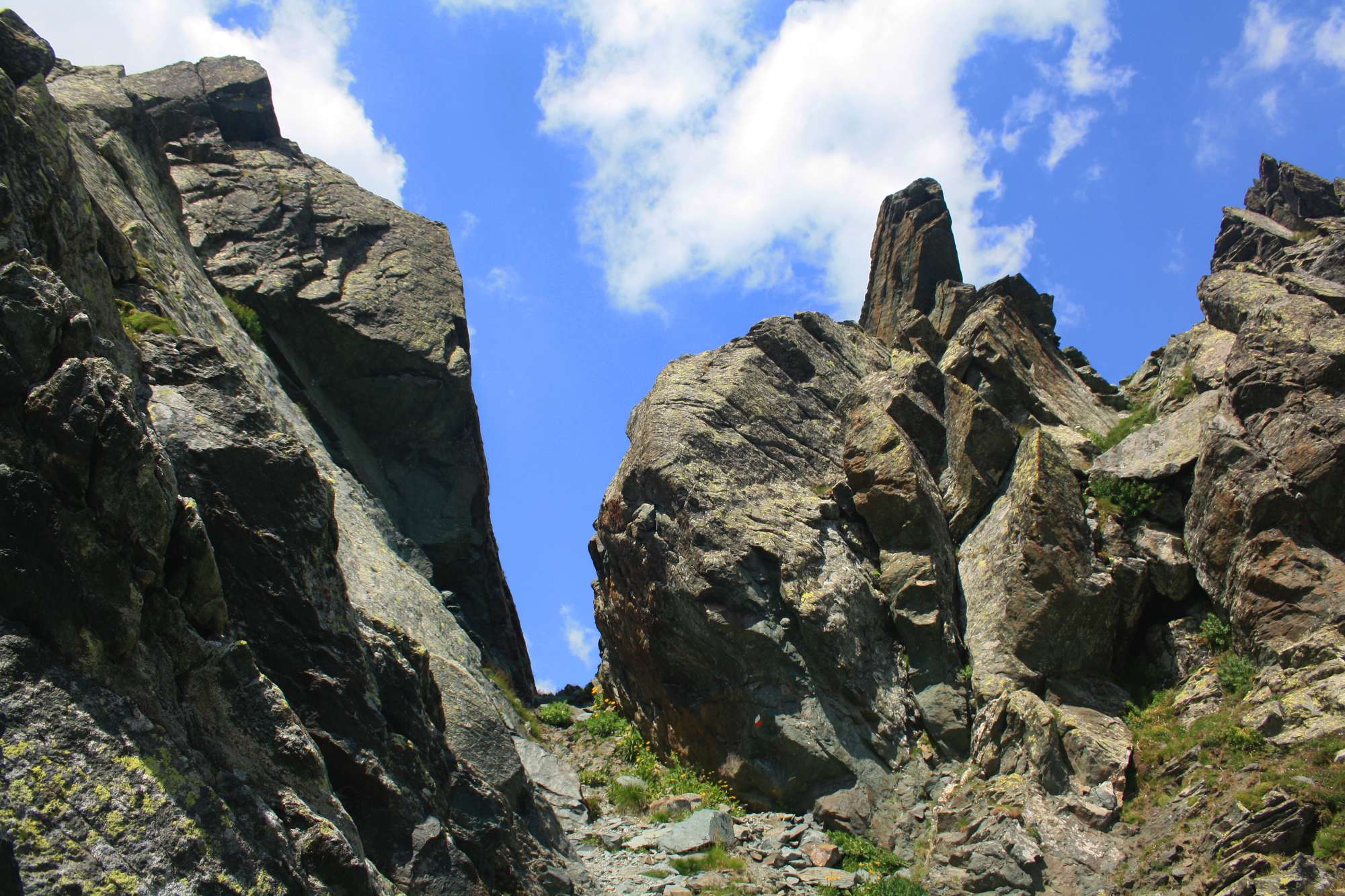
Once you reach the alpine pasture, cross the stream and continue south, climbing along a faint track. After approximately 100 m, ignore the turning on the right and continue along the previous path, which leads to the narrow Passo delle Mangioire in 2 hours and 30 minutes from the start, alternating between uphill sections and flat stretches across picturesque plateaus.
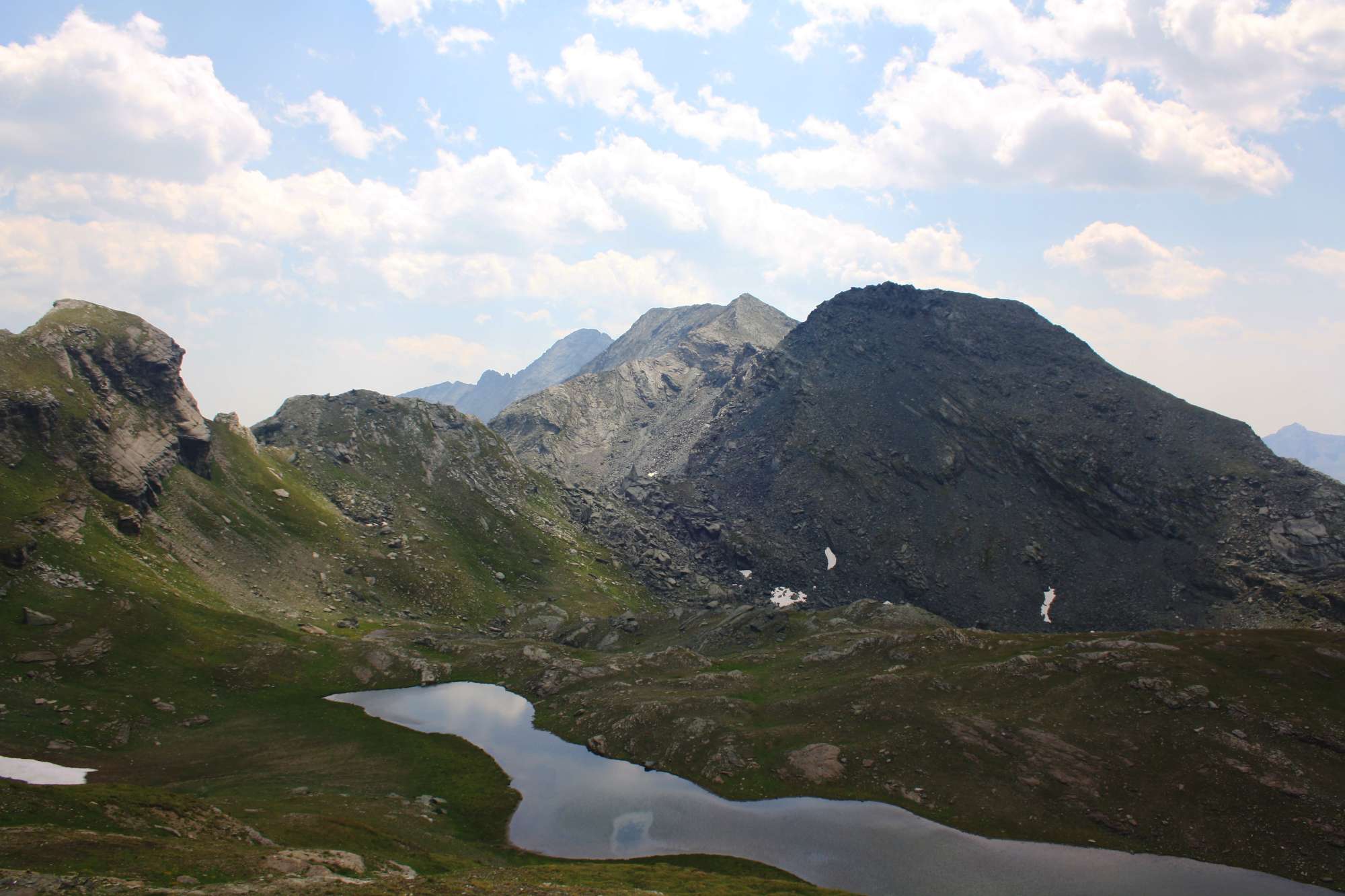
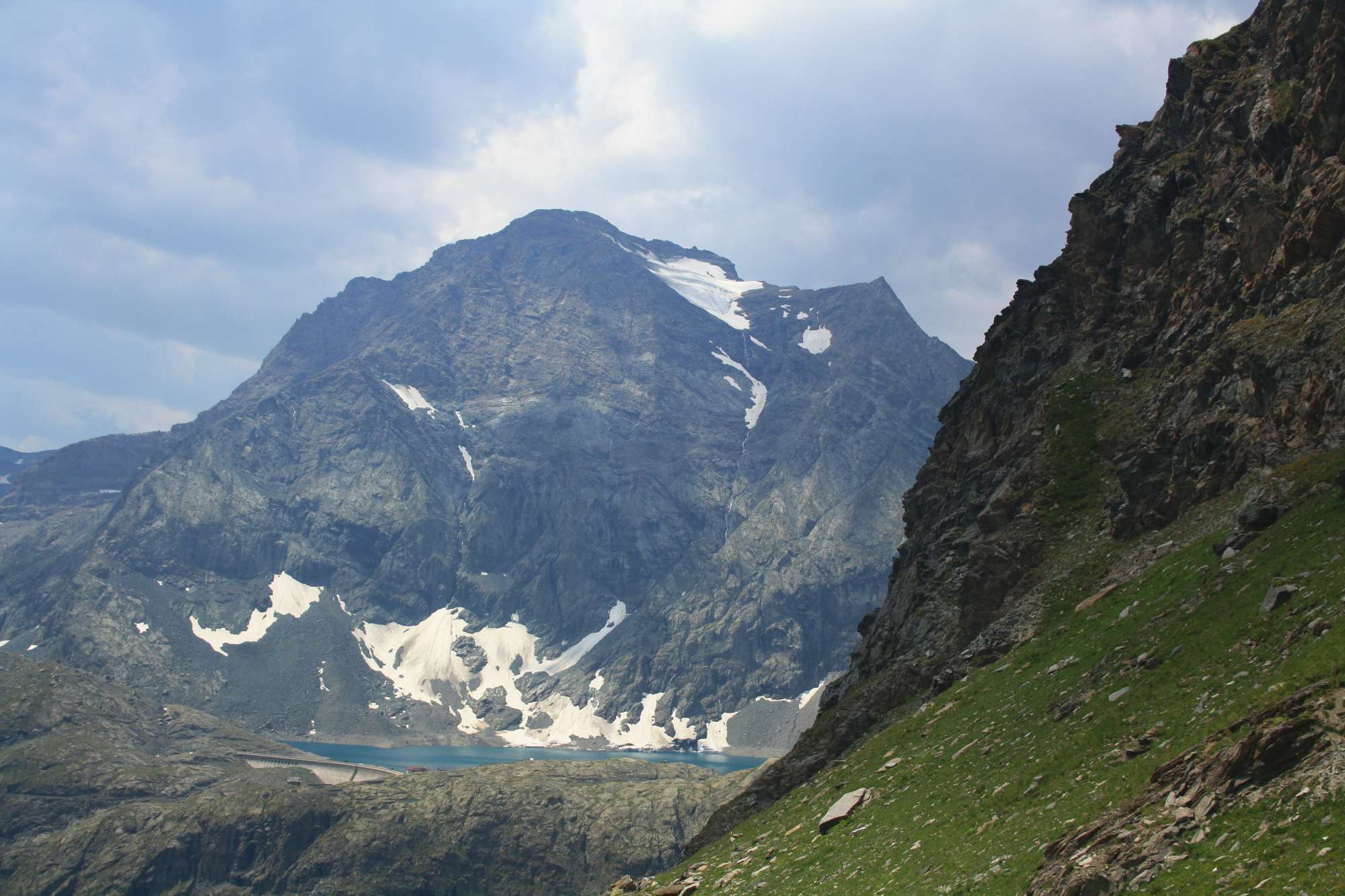
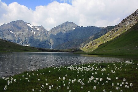
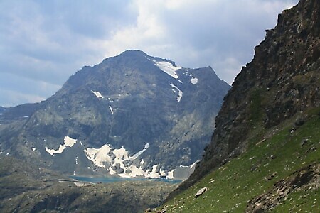
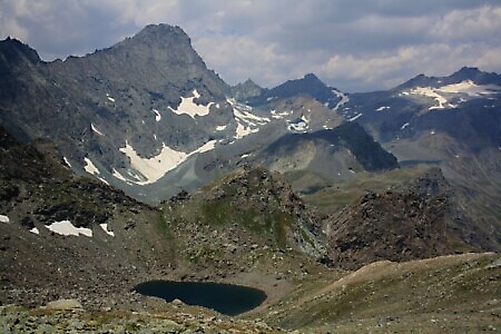
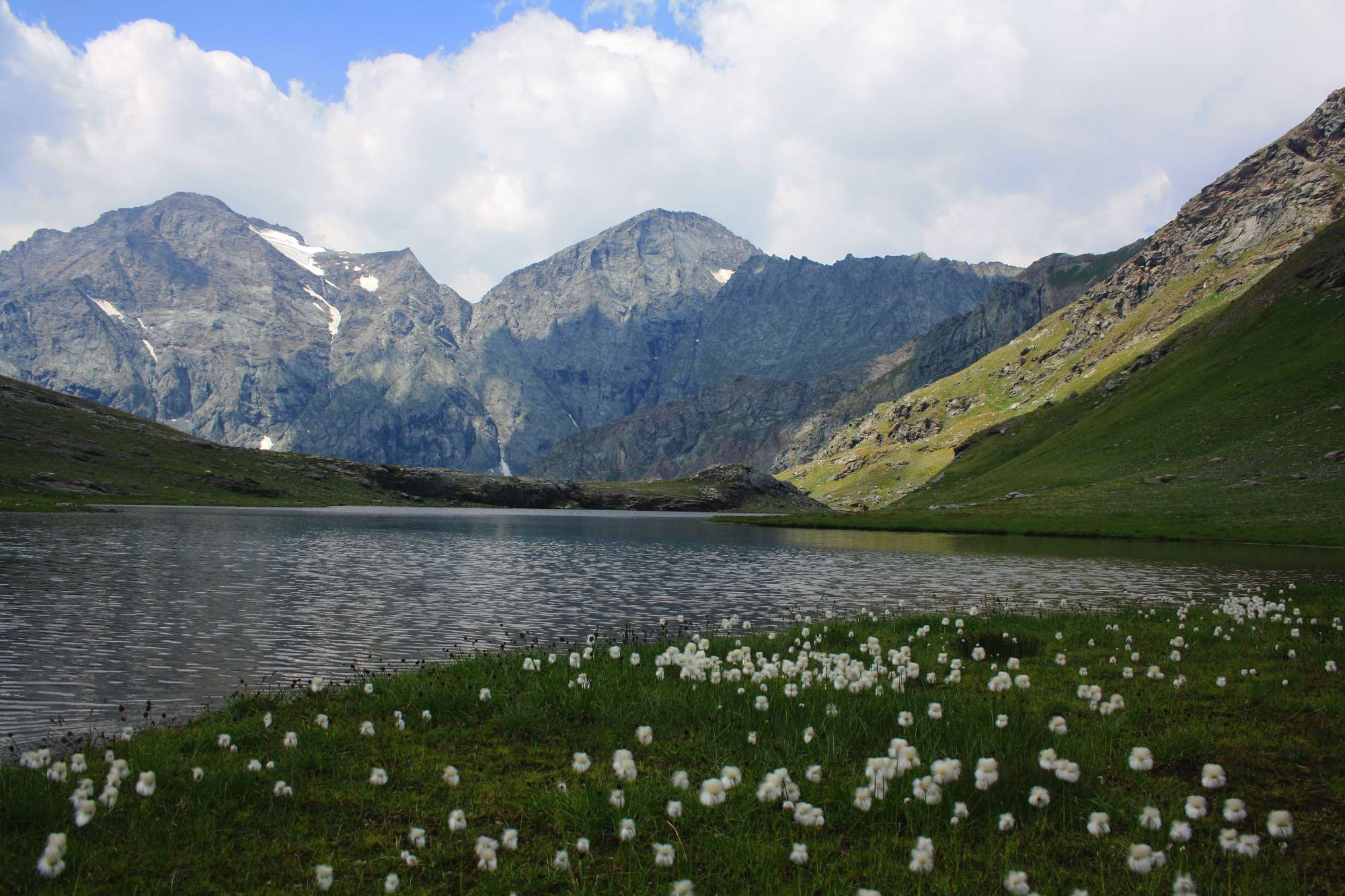
From the pass, the path descends gently northwest until it reaches the Lake Bessanetto basin, with the imposing Croce Rossa in the background. From the lake, the path climbs back up the grassy slope above it, gaining altitude in a northwesterly direction; as you ascend, you can see Lake della Rossa in the distance. The track is faint but well-marked with red and white trail markers.
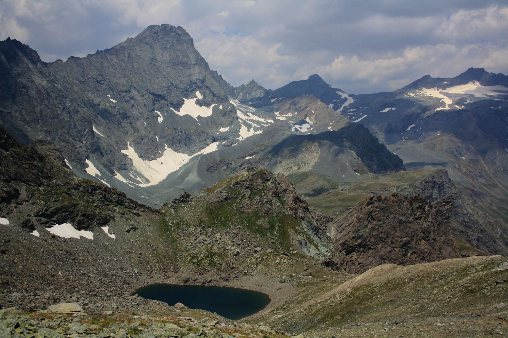
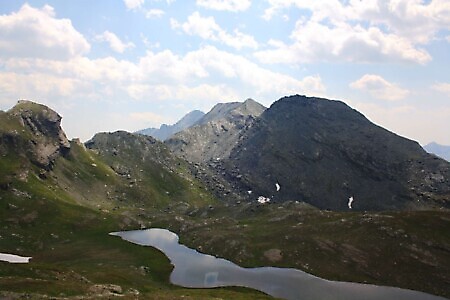
You will reach a small col from which you can admire Lake Crotas, with the Bessanese and Ciamarella peaks in the background. A descent over scree begins towards the lake basin; once reached, follow the shore on the right and then climb to another col from which you can admire the Crot del Ciaussiné basin.
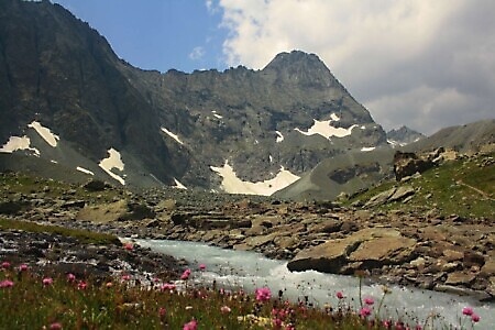
Continue the descent over scree, below the walls of Rocca Affinau, then intersect the Tour della Bessanese, as well as the path leading to Lake della Rossa. Follow it downhill until you cross a footbridge and reach the Gastaldi Refuge, climbing once again.
From the refuge, the path zigzags down towards Pian dei Morti and then runs alongside the Canale delle Capre. Upon reaching the bridge over the Stura, cross it and traverse the plain via the road and the path located along the picnic area until you reach the starting point.