Overview
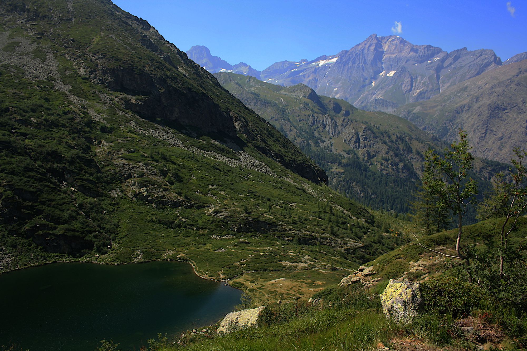
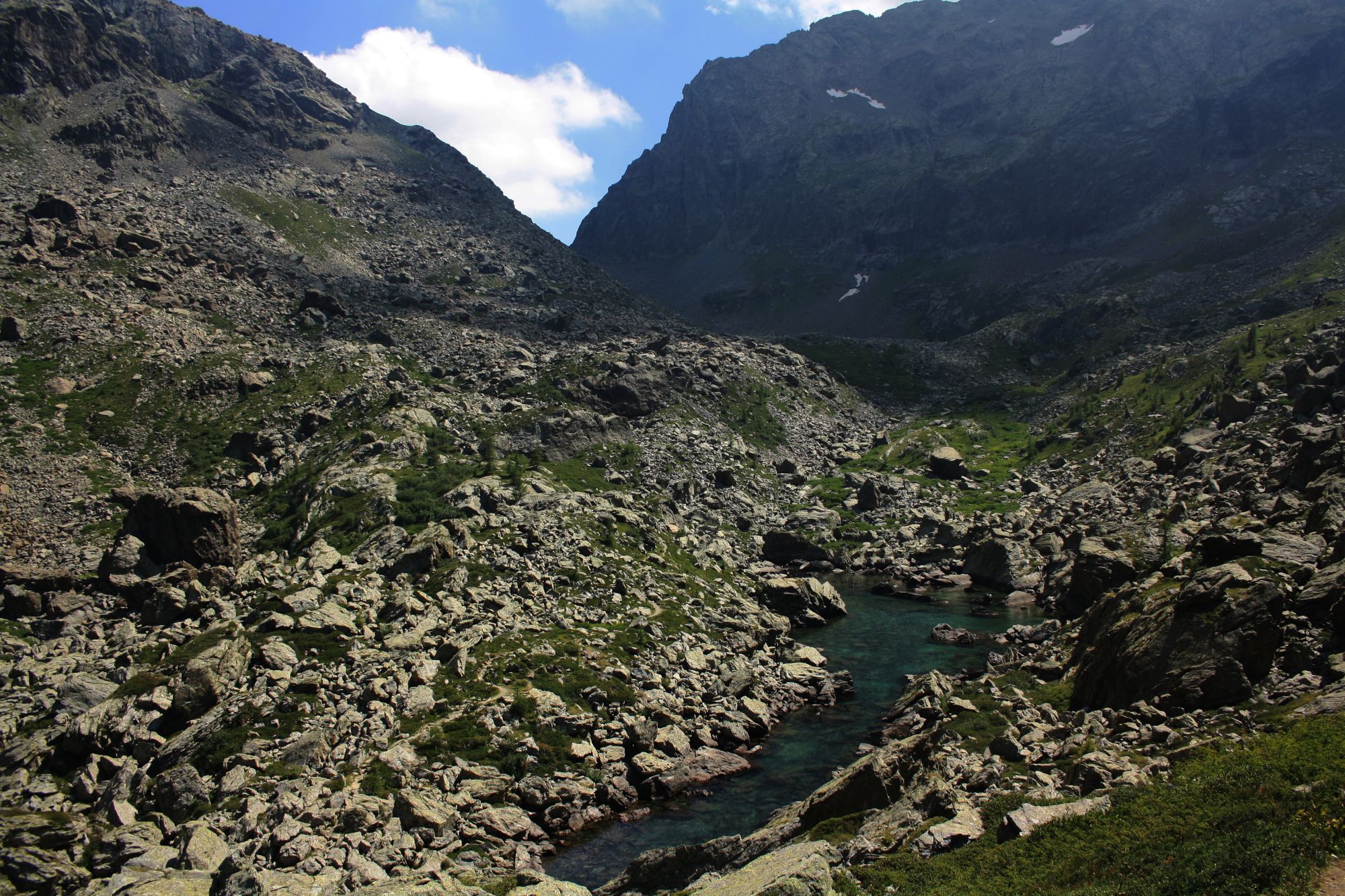
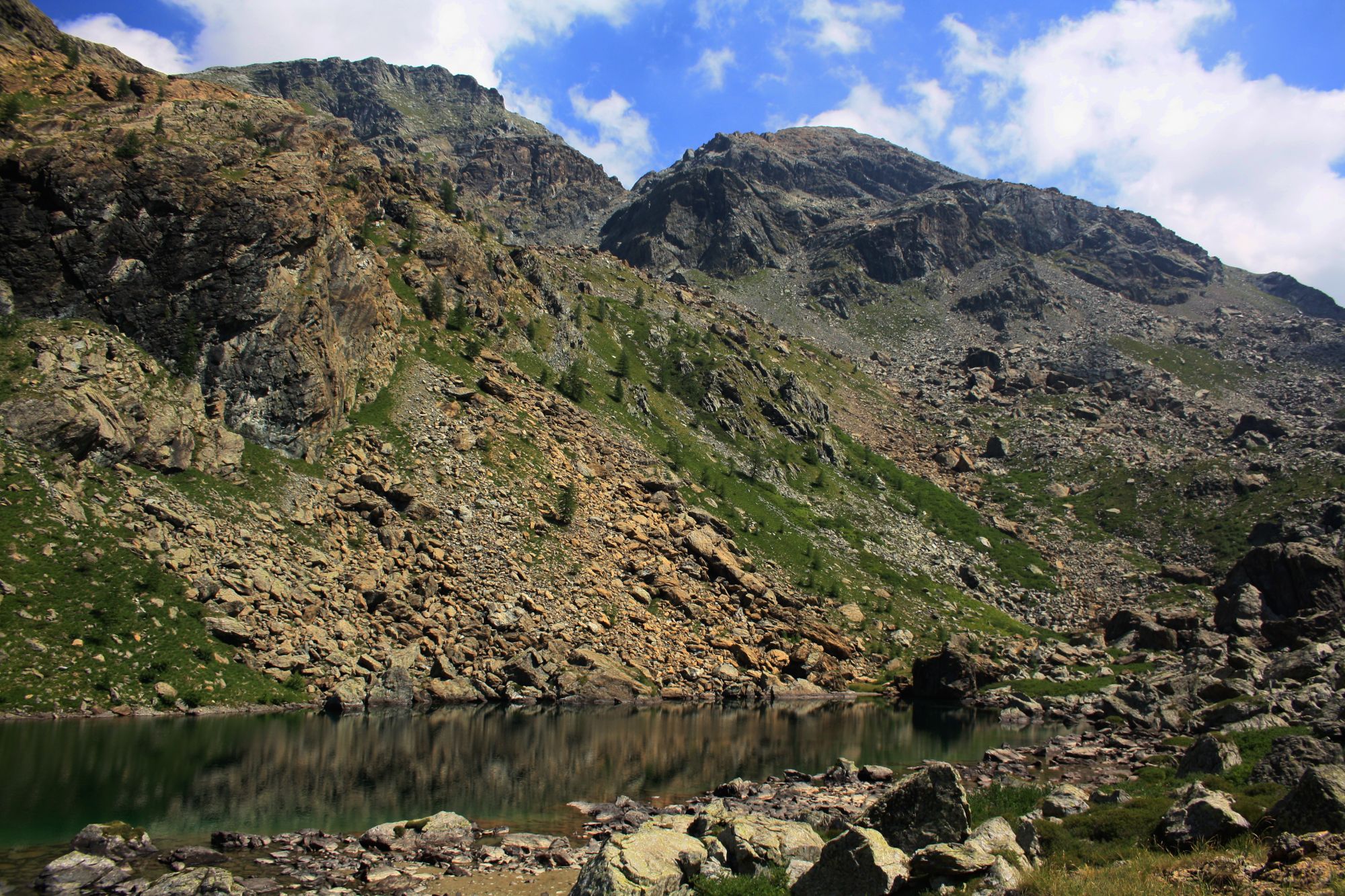
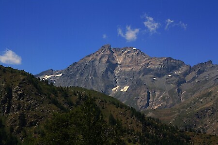
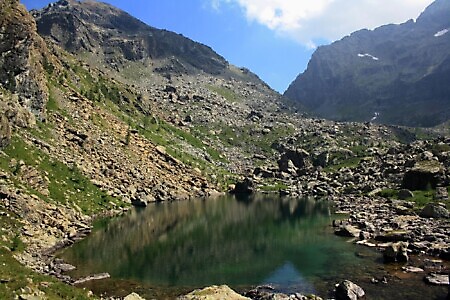
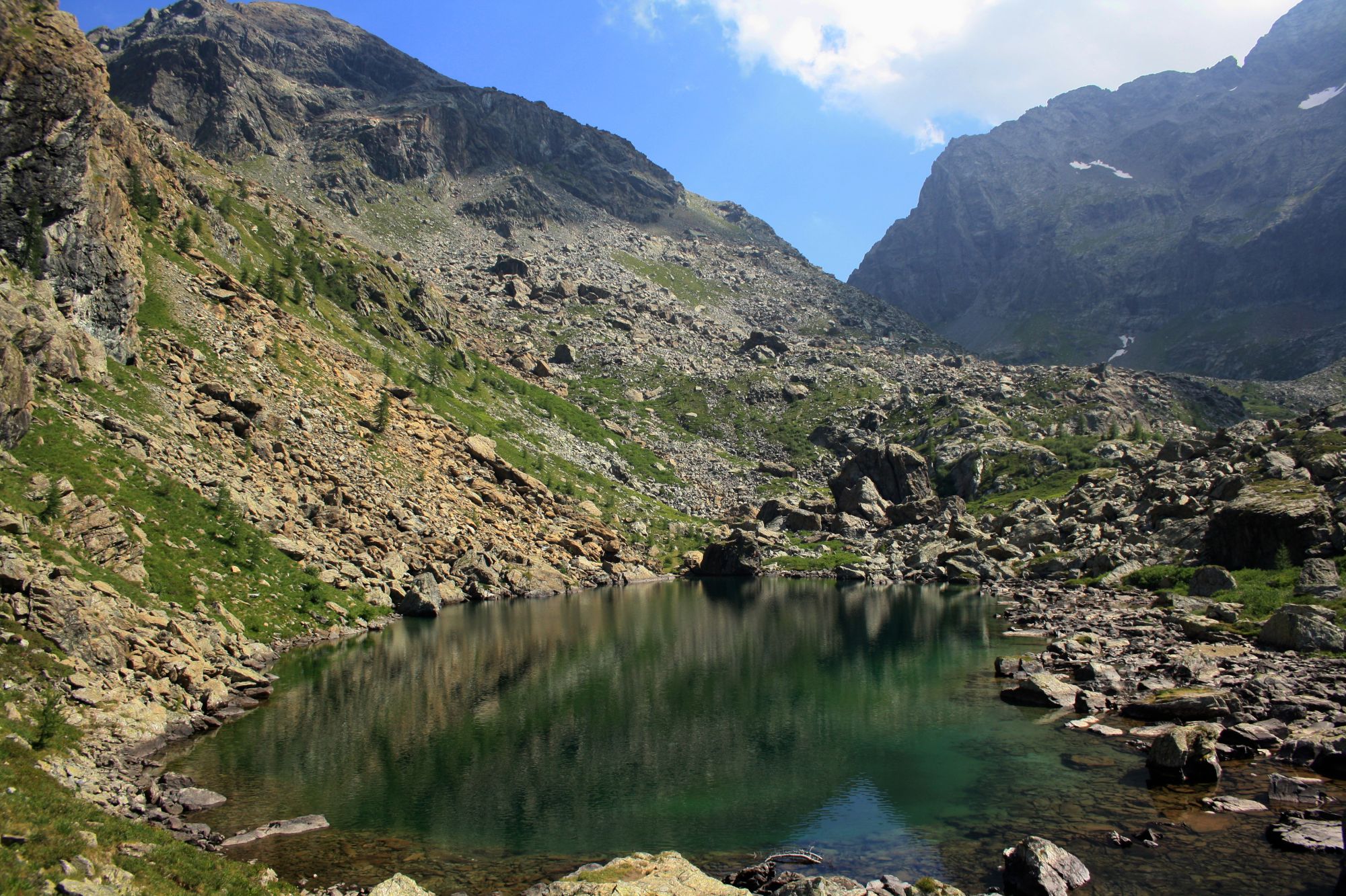
Loop itinerary crossing the wild Vallone di Servin to reach three glacial lakes: Lake Paschiet and the two Laghi Verdi. The ascent and descent are dominated by the peaks of Ciamarella, Bessanese, and Uja di Mondrone.
Starting point
DirectionsFrom the paved road below Borgata Frè, continue straight until you take the dirt road that begins at an information board. Follow the cart track which eventually narrows, becoming a path.
Continue straight along the path to reach Alpe li Soùgn; after the mountain pasture, the track continues slightly uphill until it meets a small wooden bridge that crosses the Rio Pontat. Once across, the path continues uphill towards the southeast, reaching a small plateau from which the Cascate del Pontat can be seen in the distance.
The itinerary continues climbing through the woods in a southeasterly direction, following signposts. After about 1h 30m, you reach Alpe Paschiet (1933 m), which you skirt by keeping to the right, to continue the ascent towards Lake Paschiet (2000 m), reachable from the pasture in about 10 minutes.
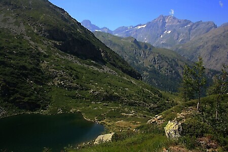
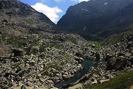
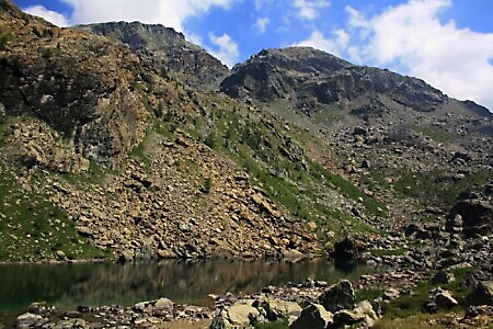
From the lake, the path continues to climb steeply to its left, along the ridge separating Lake Paschiet from the Laghi Verdi. Once the climb is finished, the smaller lake can already be glimpsed ahead, while the larger one can be seen on the left during the descent (2160 m).
Having reached the small lake, the path turns north, skirting the large lake and descending along the true right bank of the Rio Paschiet, first passing through Alpe Pian Buet (2018 m), then skirting Alpe Garavela (1723 m) on the right and subsequently Alpe Pian Salé (1581 m).
At the end of the descent, just before Borgata Fré, you reach a ford on the left that allows you to return along the cart track where the itinerary began.