Overview
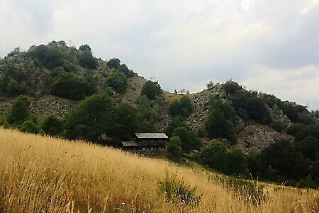
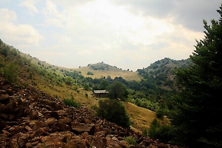
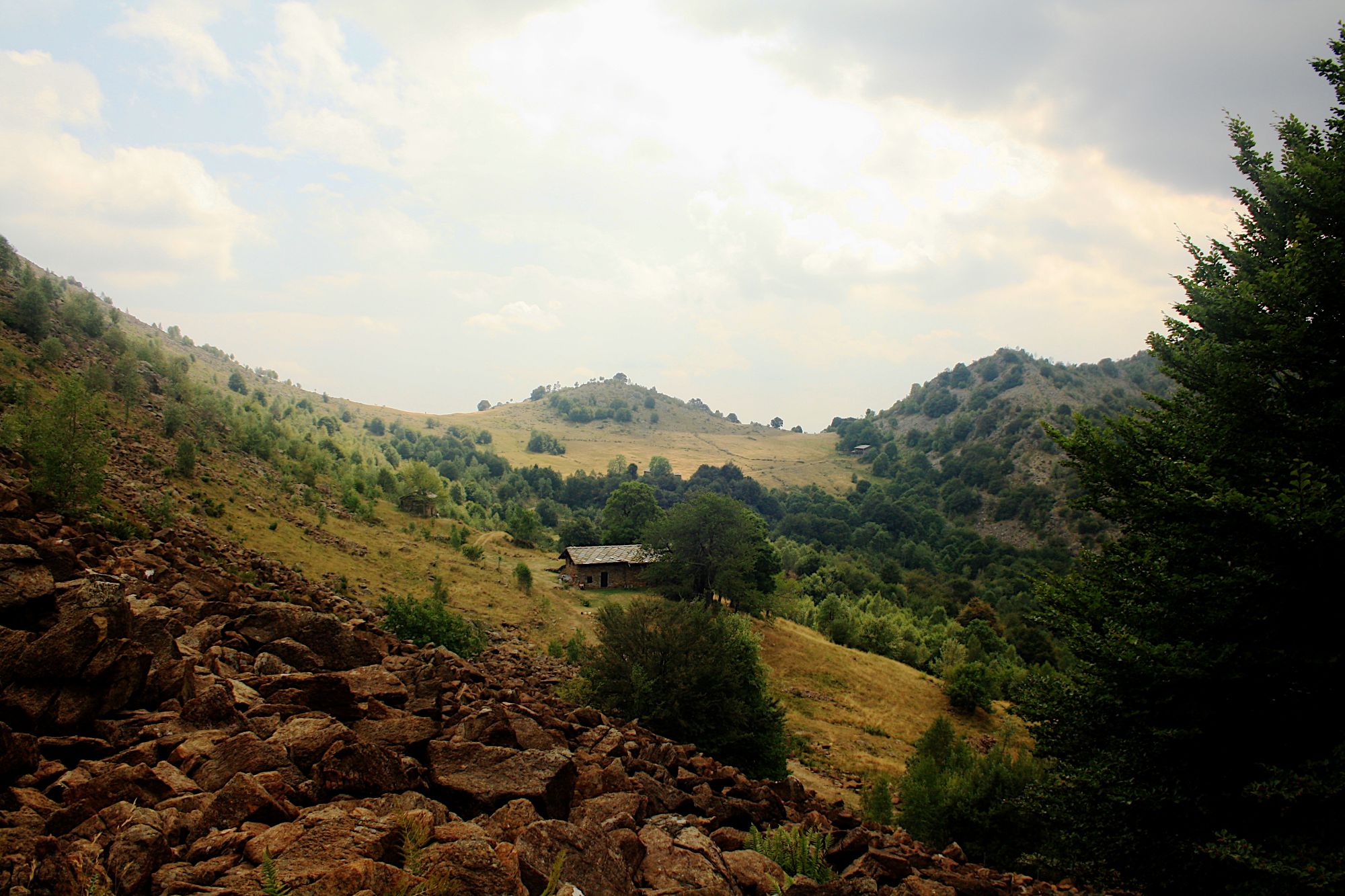
Loop itinerary connecting Colle del Lys with the Colli Portìa, Lunella and Grisoni, once used by mountain dwellers to move between the valleys of Rio Richiaglio and the Casternone and Stura di Viù streams. These places preserve an important partisan memory, also presenting a unique landscape as part of the Lanzo Ultrabasic Massif, the name given to one of the largest outcrops of peridotites, Earth's mantle rocks, in the Western Alps.
Starting point
DirectionsFrom the square at Colle del Lys, heading north-east (information boards present), take the dirt road which in this first section runs below the slopes of Monte Arpone.
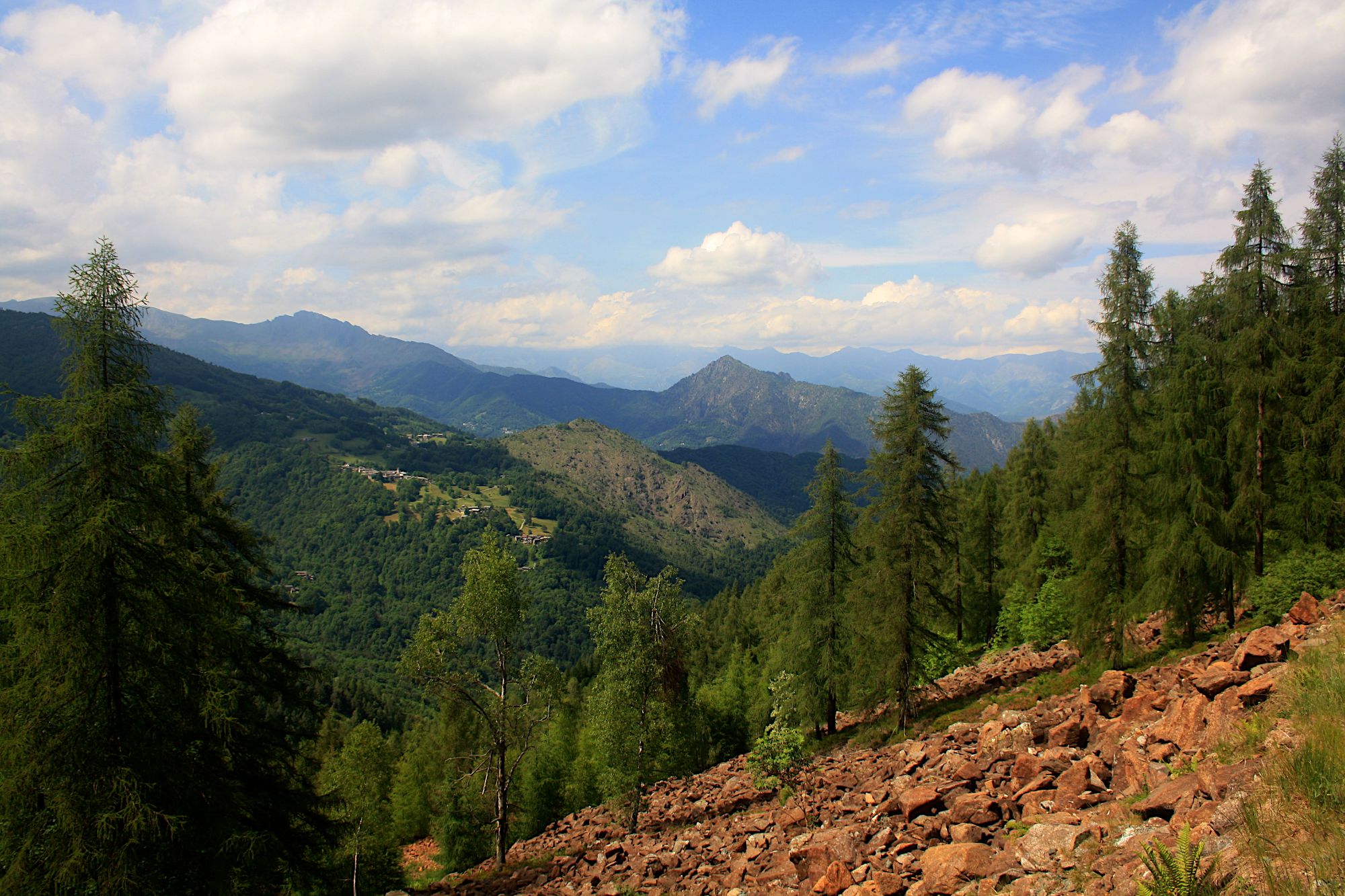
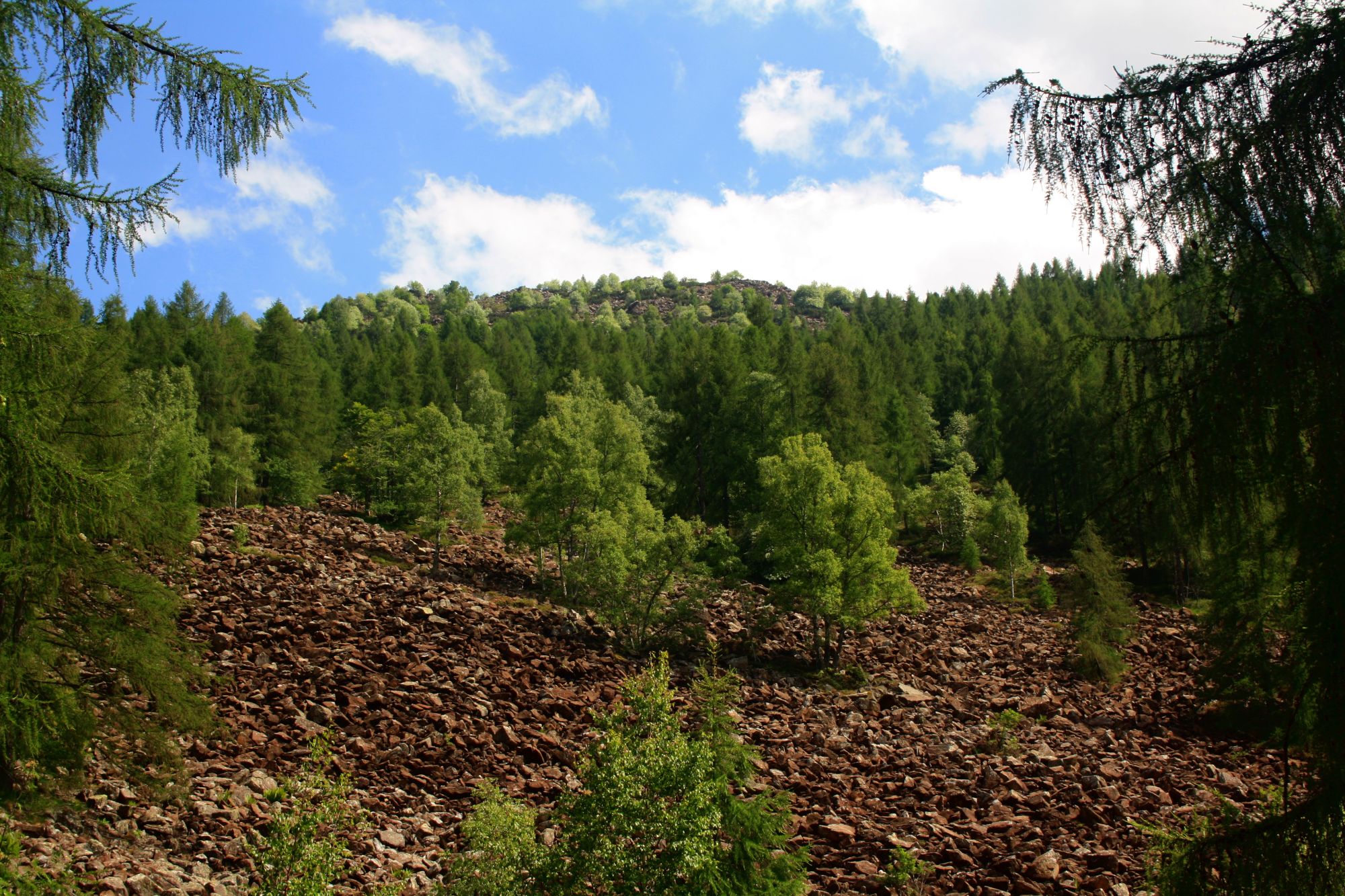
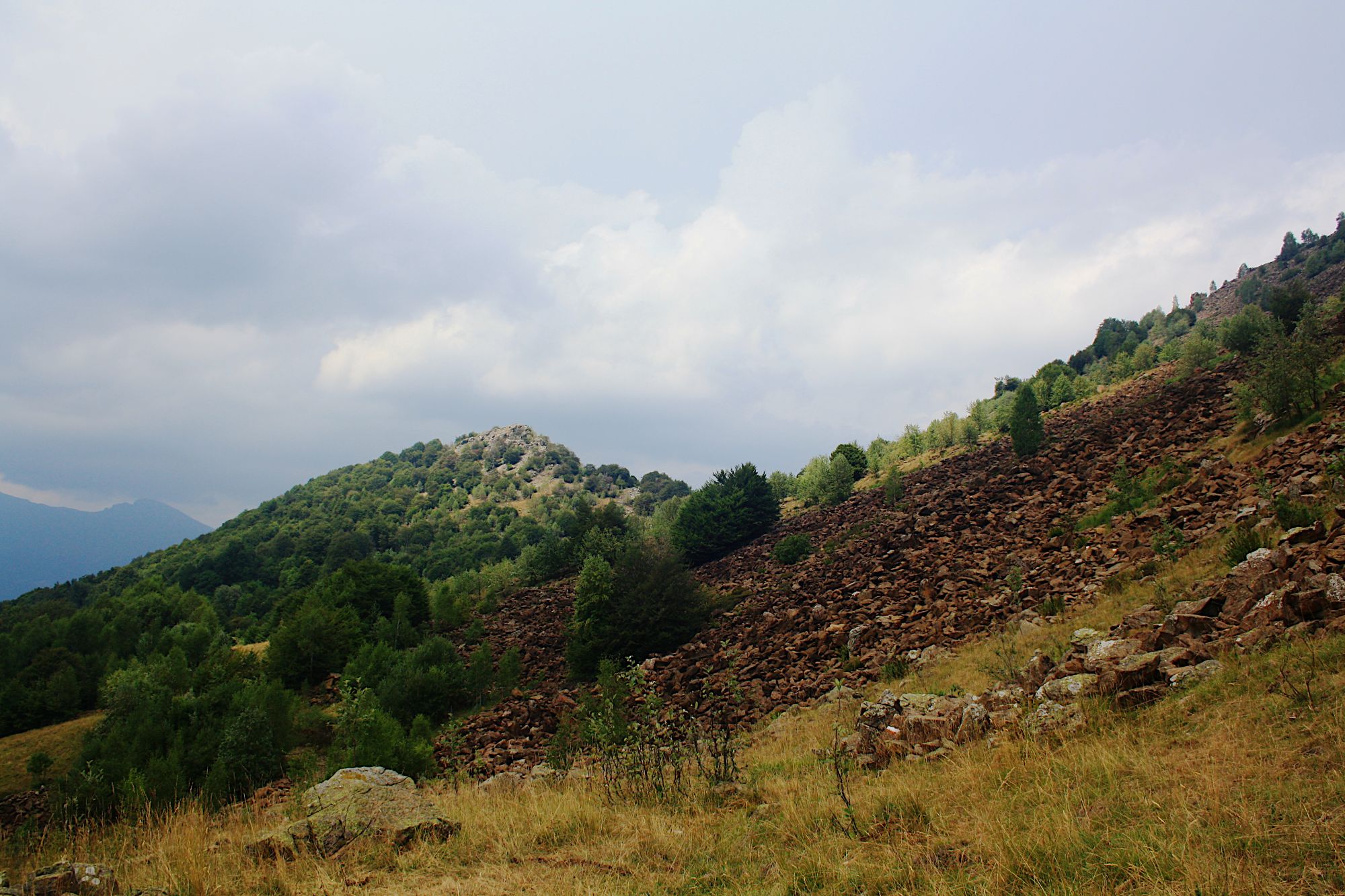
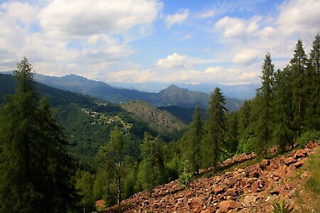
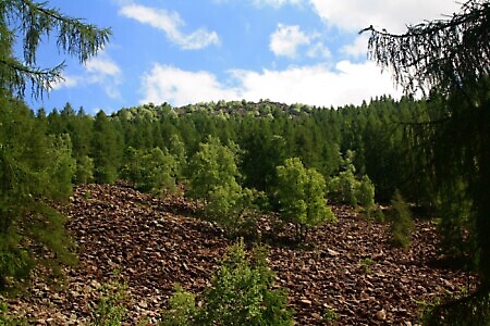
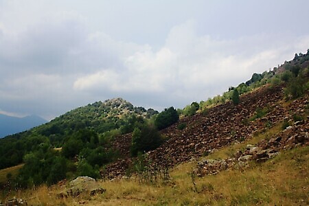
After a short descent, the itinerary continues along the slope with some ups and downs, crossing a beautiful coniferous forest and the blockstreams, enormous flows of peridotites, ancient Earth’s mantle rocks rich in iron and magnesium.
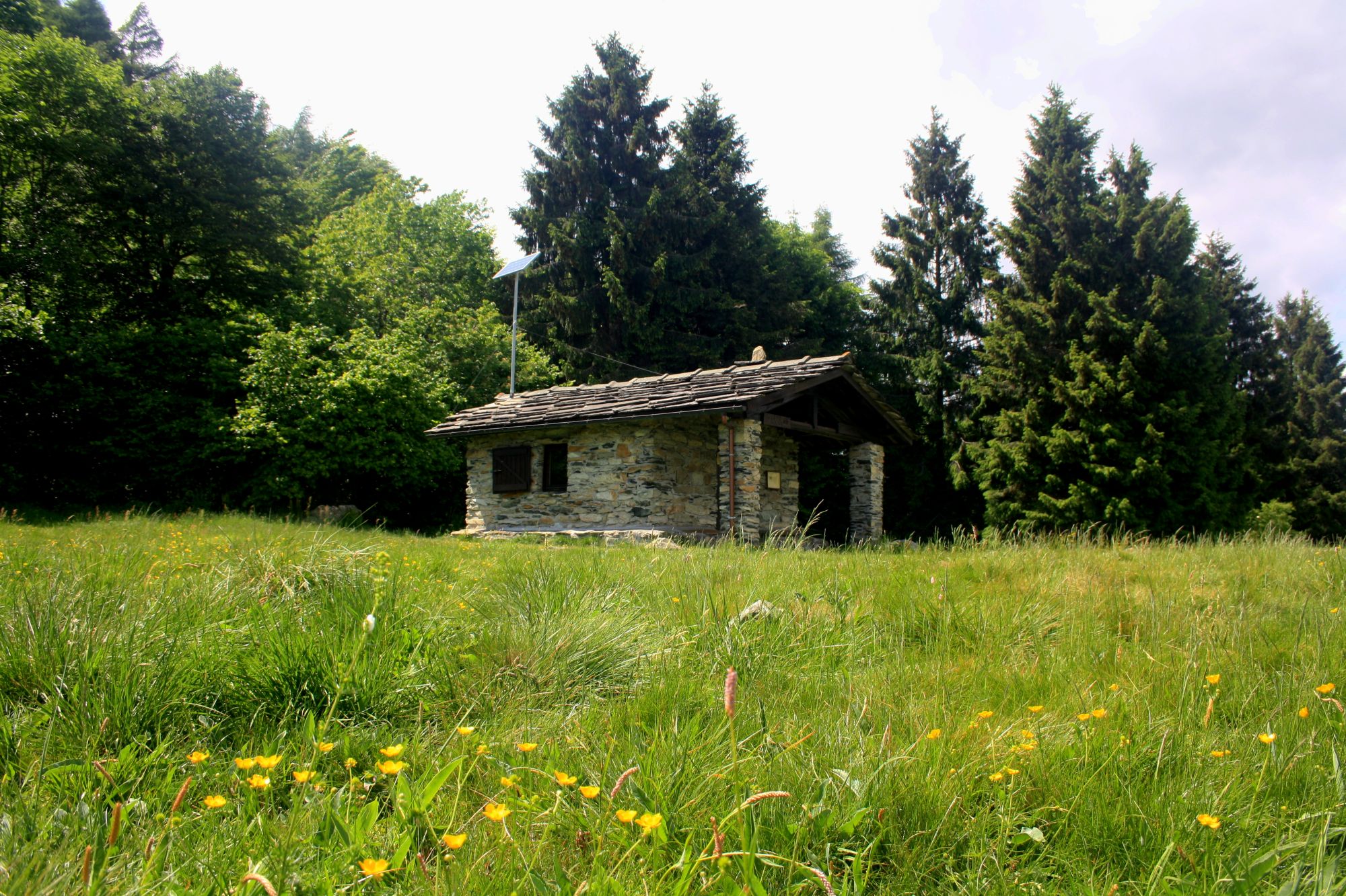
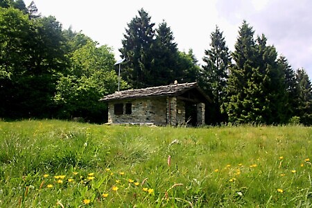
After reaching a small fountain on the right, leave the cart track to climb along a mule track until reaching Colle Portìa (1322 m). The trail continues along the grassy slope facing the pass’s bivouac-chapel, heading north-east (faint trace). Ignore the junction leading to Il Pilone, and continue along the slope to the saddle of Colle Lunella (1398 m).
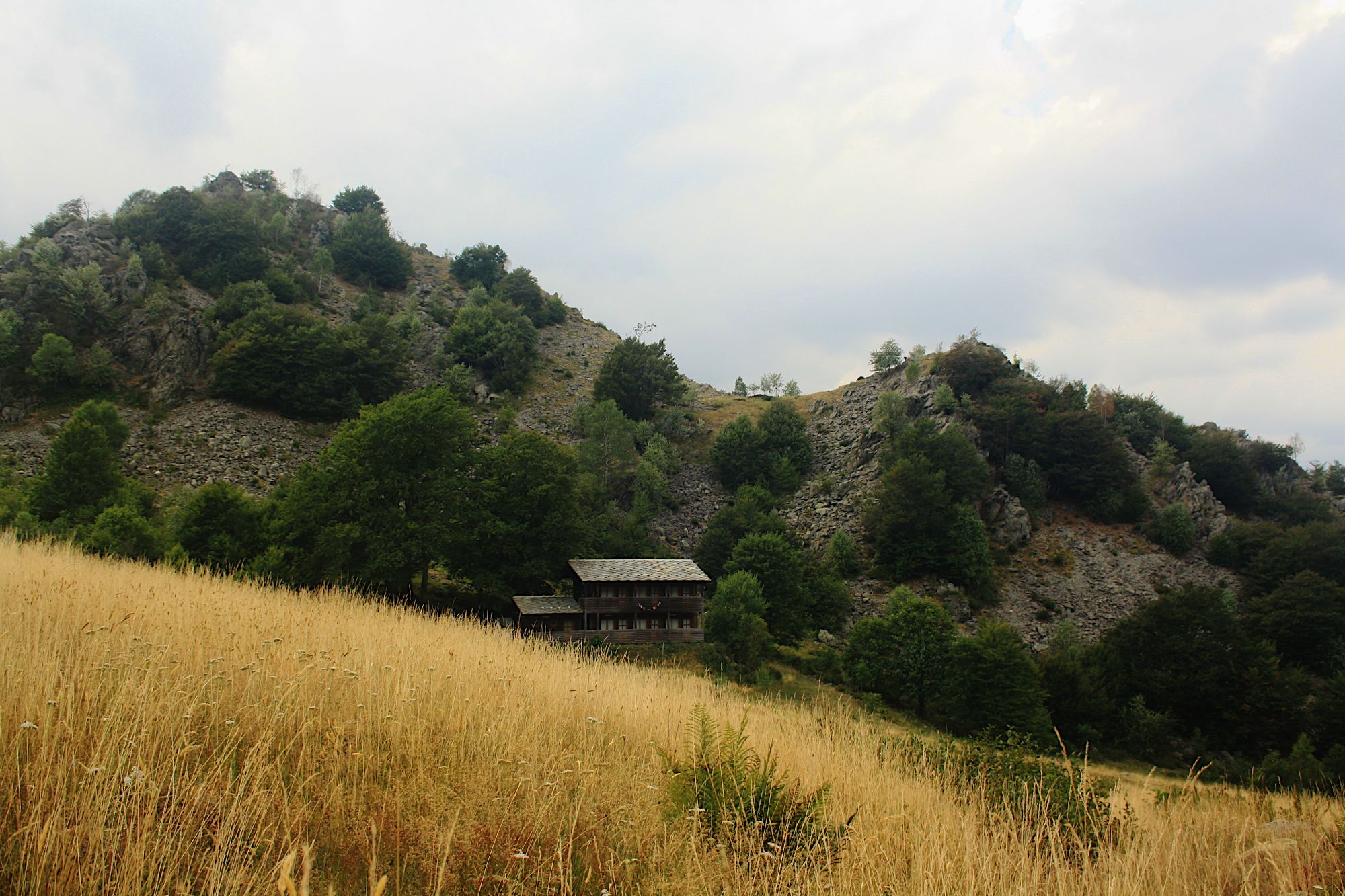
Continue northward, along the trace that cuts along the slope on the western side of Monte Colombano, climbing up to Case Giuglitera (1344 m) and then, crossing some peridotite blockstreams, to Colle Grisoni (1405 m).
From the pass, descend on the trail trace heading south-west, along the fall line, until intersecting on the left the cart track that leads back to Case Giuglitera.
Continue along the cart track until taking another one on the right, which you follow always keeping left (ignore the two right turns) until retracing the outward route.
Curiosities
Trails of the Resistance and Memory
From autumn 1943, the area between the extreme edge of lower Val Susa and Valle Casternone became an active center of resistance against Nazi-Fascism. Between Colli Grisoni and Lunella lay the north-eastern boundary of the operational zone of the 17th Garibaldi Brigade "Felice Cima", which at the end of July 1944 deployed the "Franco Mondiglio" detachment there, tasked with monitoring enemy movements. On 23 September 1944, an attack carried out by the Nazi-Fascists as part of Operation Strassburg – aimed at regaining control of the Valli di Lanzo which had been a partisan "free zone" since 26 June – struck the detachment. The enemy climbed the Rio delle Toglie valley – lateral to the lower course of the Stura di Viù stream – protected by thick fog and, crossing Colle Grisoni, took the detachment by surprise. The partisans managed to withdraw without losses toward Colle del Lys, but the burning of the huts by the Nazi-Fascists made it impossible for them to retake their positions after the attack ended and forced them to relocate to an area on the border between the territories of Rubiana and Caprie.
The trail network dedicated to the Resistance has been developed by the Ecomuseum of the Resistance, a distributed museum covering the area adjacent to Colle del Lys that includes the Museum headquarters, the Tower, the Garden of Peace, the Common Grave area as well as the Trails of Memory.