
It is a medium difficulty tour, particularly in the complete loop higher part. In the northeast side of Vallone d’Ovarda, 7 splendid alpine lakes characterize the scenic trail. After the first section, the itinerary is “eight” shaped allowing, therefore, the choice between a short trip (3 lakes) or the complete tour with the higher part, (7 lakes).
Ovarda 7 lakes trail


Indications
Suggested period
June - October with chances to find snowfields in the higher valley.
Starting point
Hairpin turn below Alpe d’Ovarda (1803 m)
Elevation gain
900 m
Difficulty
E
Travel time
5 hrs
Recommended for
- Hikers
Access
Right after the Lemie residential area, passed the CAI explanatory board, turn left on the paved road to Inversigni. Reach San Bartolomeo where there is a little parking area.
Itinerary
Just upstream from S. Bartolomeo take the mule track that goes up the wood and after about 20 minutes it comes out on the first pastures. Just beyond, take the dirt road that leads to Alpe Ovarda. On a bend, just before the pasture, there is a sign: take the path on the left of Rio d’Ovarda. Cross the stream and proceed at mid slope, first, and then, with a short climb, reach “Pian del Gioco” plateau (1995). A slight descent, followed by a rocky traverse and finally another short climb, takes you to the first 7 lakes crossroads (2100). It is suggested to keep to the right where a section of the trail is equipped with a chain (useful in case of slippery rocks). You will arrive first to Lago Piccolo (2152) and then to Lago Blu (2220). Through a beautiful grassy plateau, reach the second 7 lakes crossroads, at the center of the “eight” figure, near Lago Grande (2220). At this point the choice is between the short and the longer tour. Going on to the right, you will reach Lago Lungo (2303), in a beautiful small valley delimited on the right by Ciarm del Prete, beyond which the Tornetti valley is to be found. Following the indications, enter a small valley on the left arriving at a 2450 m altitude pass from which you may enjoy Torrione Mazzucchini’s view. Follow the scenic crest characterized by big cairns and you will arrive to Laghetto delle Rocce Rosse (2464). Climbing down to the left, at about 2400 m altitude, the 3 small lakes will be found. After a traverse on stony ground and a descent you will arrive nearby Lago Grande, which you already saw, during the ascent, at the second crossroads. Skirt Lago Grande leaving it to the right and, through a small climb, reach the ridge up to the first crossroads. From this point, descend along the same trail as for the ascent.
Cartography
Valli di Lanzo – carta dei sentieri 2 Val di Viù e Val d’Ala; Alte Valli di Lanzo – carta n°103 dell’Istituto Geografico Centrale; Alte Valli di Lanzo – carta n° 17 L’Escursionista & Monti editori

Albergo Ristorante Bar Grand’Usseglio
The historic Albergo Grand’Usseglio was built somewhere around 1910 by Cibrario Ruscat Domenico, cal...
Read more 
Albergo Rocciamelone
The hotel Rocciamelone is situated in the center of Usseglio village and it was built in 1925. Even...
Read more 
Hotel dei Rododendri
In Bertesseno, the mountain hamlet dear to poet Guido Gozzano and headquarters of the Civil Values C...
Read more 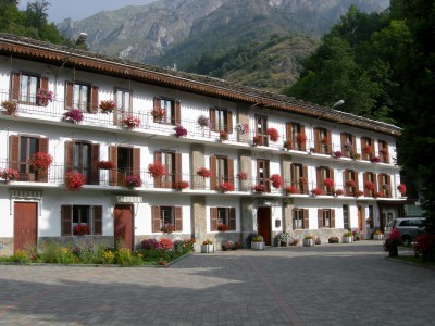
Albergo ristorante Furnasa
Customers are accommodated in a family atmosphere new structure surrounded by the green of Usseglio ...
Read more 
C.A.I. Lanzo
Association with over 1.000 members which organize courses, hiking trips, ski mountaineering, mounta...
Read more 
A.S.D. Sci Fondo Usseglio
The Association manages, for six persons runs and maintains machinery and sport equipment for cross-...
Read more 
Rifugio Colle del Lys
Rifugio Colle del Lys is, just as in a fairytale, a wooden chalet in a beautiful scenic point. The r...
Read more 


